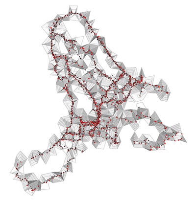
This new applet is a visualisation of GPS data from people walking on the Greenwich peninsula. The height of the mesh is a measure of GSR (Galvanic Skin Response, related to stress levels) at that point. See the Biomapping FAQ for more details, and note the emphasis on personal interpretation. Since I didn't split out the individual walks from the sample data this shouldn't really be considered an accurate map of stress in Greenwich!