I found RGB versions of the tube line colours over at Rodcorp, so that saved me some bother.
Being the only machine-readable single-file resource I could find, I'm using Jo Walsh's RDF representation of the station locations and connections, a leftover from the sadly defunct MudLondon. I'm not sure yet if it's up to date, or complete, or internally consistent (reason number 1 in an ongoing series of why the semantic web might not be all that it's cooked up to be). Once I fix my doubtlessly buggy RDF parser and check with Jo for any pointers, I'll see if I can do better than this:
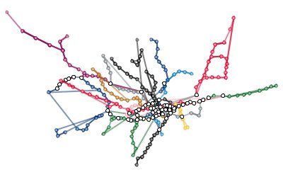
At least it's a start. If anyone has suggestions/links for alternative data sources I'd be very grateful - is there an electronic format schematic for the tube available from an official source? Aha - these CSV files from Wikipedia look more promising!
On with some alternative representations of the data - next stop: time to travel.